
Namibia
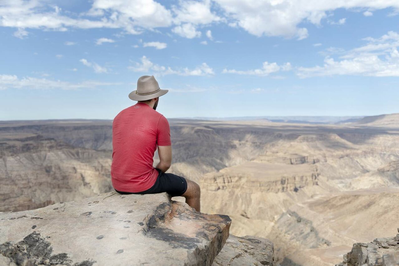
The Fish River Canyon in southern Namibia is about 160 km long, up to 27 km wide and 549 m deep at its deepest point, and 13 of our tours stop at its rim. You stand at the main viewpoint near Hobas, look down on the bends of the Fish River far below and walk a stretch along the edge. The canyon lies in the 6,045 km² Ai-Ais/Richtersveld Transfrontier Park, which Namibia and South Africa founded together in 2003.
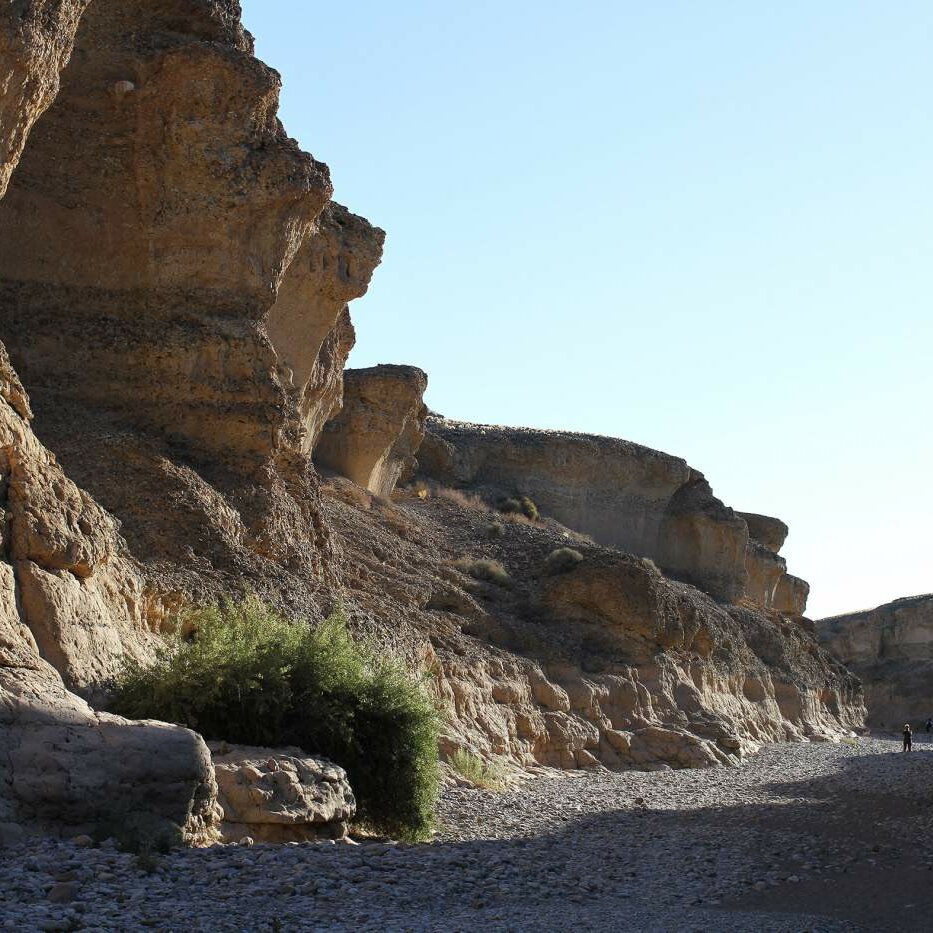
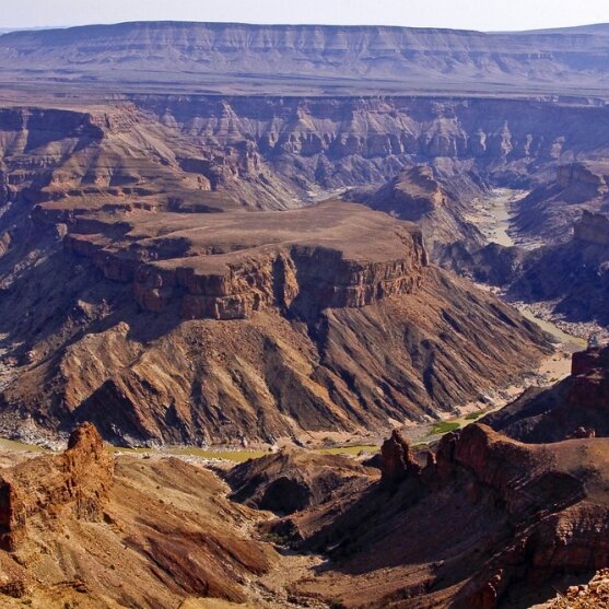
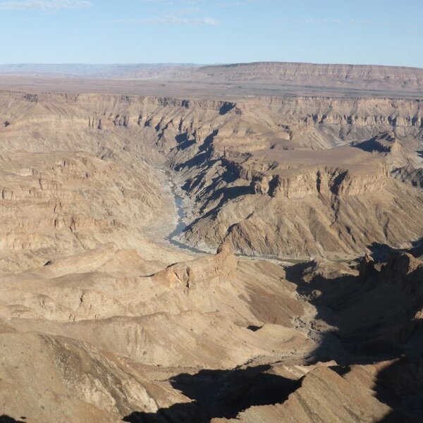
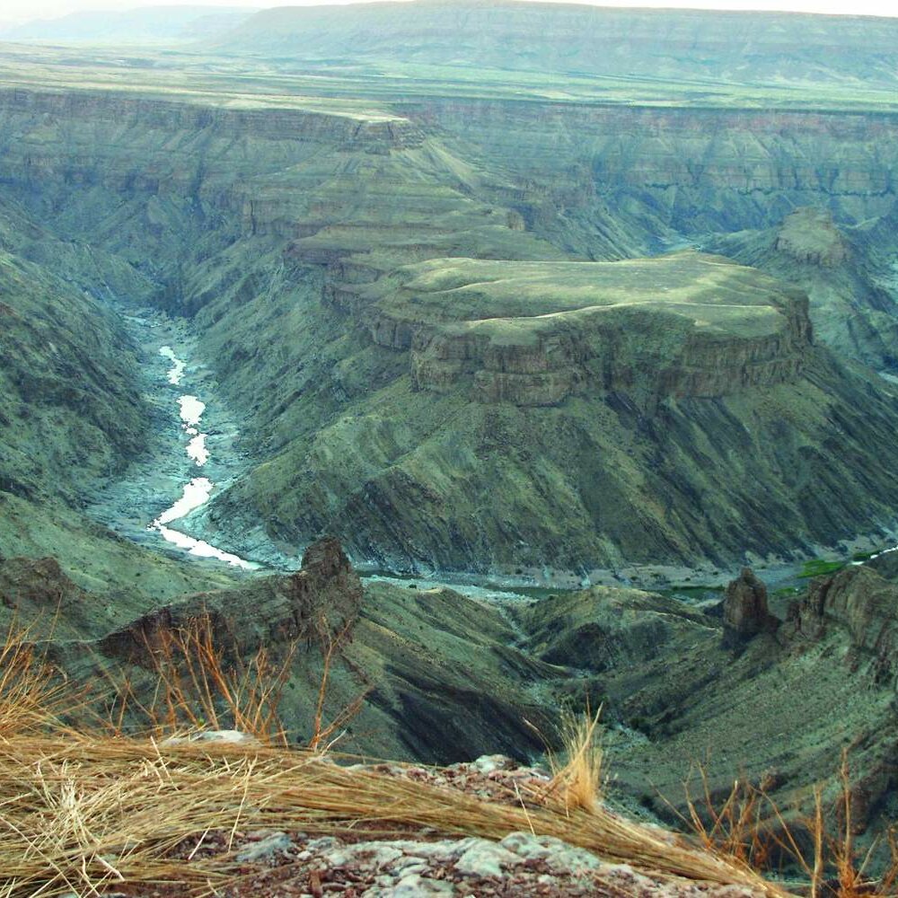
The Fish River Canyon is about 160 km long, up to 27 km wide and 549 m deep at its deepest point. The Fish River, the longest river in Namibia, has cut into the plateau of the country's south over some 500 million years. From above you see two levels: the broad upper valley and, inside it, the narrow inner gorge where the river winds in loops. Depending on the sun, the rock walls look grey, ochre or red.
The river only flows after heavy rainy seasons; upstream lie the Hardap and Neckartal dams. A few pools in the riverbed survive even in dry years, probably fed by groundwater. Antelope and leopards drink at these spots, and baboons live on the slopes. Quiver trees and low succulents grow along the rim; otherwise the plateau is stony and bare.
At the northern end lies Hobas with the main viewpoint, an information centre and a campsite under camelthorn trees. About 70 km further south, at the lower end of the gorge, lies Ai-Ais with its hot springs. Since 1 August 1962 the canyon has been a national heritage site of Namibia, and since 2003 the area around Hobas has been part of the Ai-Ais/Richtersveld Transfrontier Park, 6,045 km² in size and protected across the border with South Africa.
After the Grand Canyon, the Fish River Canyon counts as the second largest canyon in the world and the largest in Africa. Don't expect big herds like in Etosha: you come for the landscape, the morning light and the silence at the rim.


Several of our tours spend the night before nearby and drive to the rim early in the morning to watch the first rays of sun fall into the gorge. The rock walls grow lighter, and far below the river shines in its loops. Then you walk a stretch along the edge before the truck rolls on to Keetmanshoop, the Quiver Tree Forest and the Giants Playground. Other tours reach the canyon in the afternoon after an optional canoe trip on the Orange River.

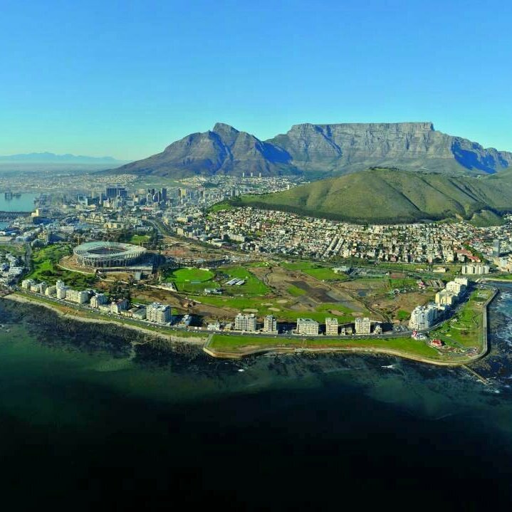
The walk along the rim is included on all 13 tours. You follow paths along the edge with a view into the inner gorge. Normal basic fitness is enough; the ground is rocky and sturdy shoes are a must. You don't go down into the gorge: descending off the trail is forbidden and dangerous, and the hiking trail through the canyon is only allowed with a permit. For photos the morning is better than midday, when the sun stands straight overhead and the layers look flat.

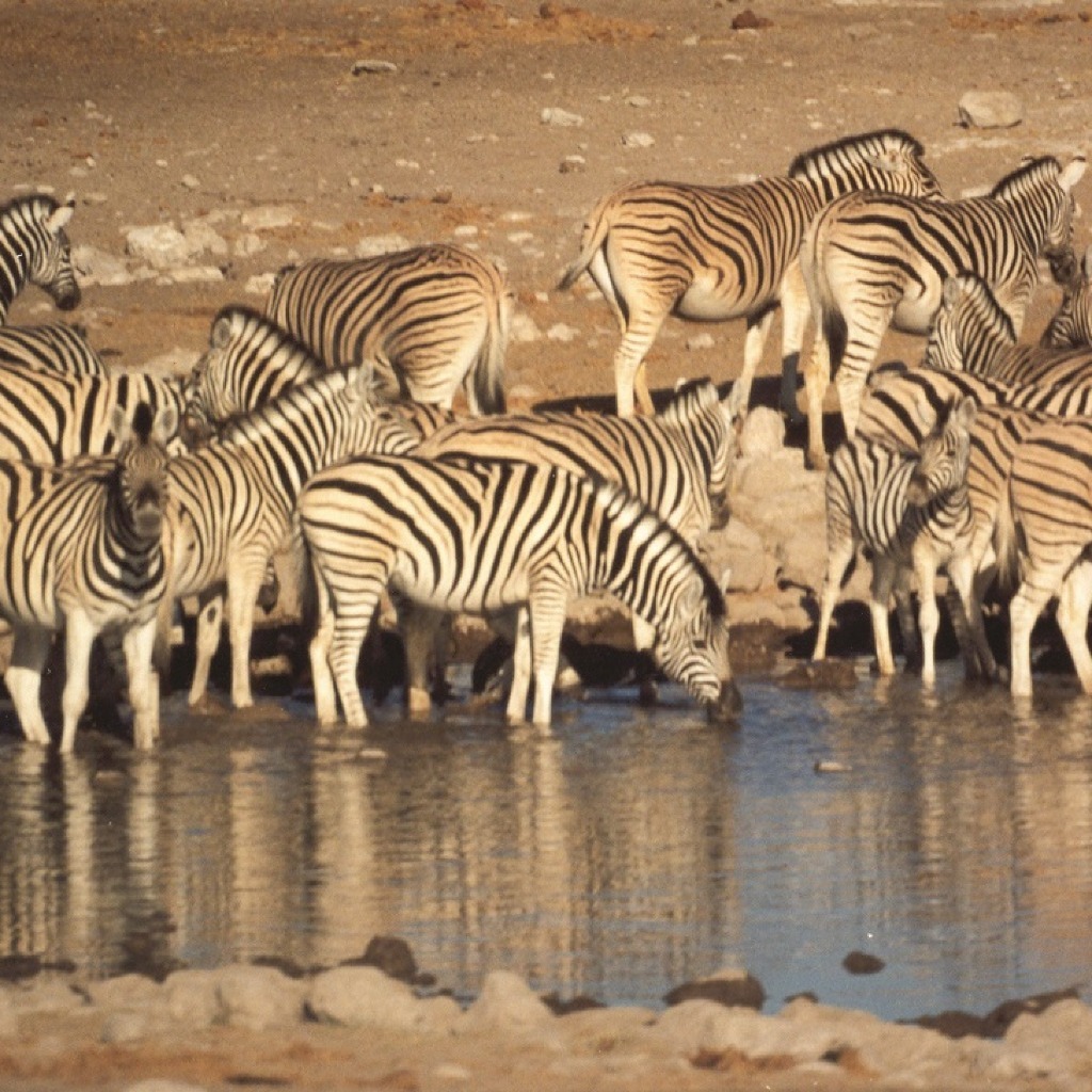
At the lower end of the gorge lies Ai-Ais, a resort at hot springs where the canyon trail ends. Our small group safari from Victoria Falls to Cape Town drives on gravel roads to Ai-Ais; you bathe in the thermal pools, walk along the rim of the canyon in the afternoon and watch the sunset from the edge. After days in the Namib, this is the stop where you rinse the red sand out of your clothes.
The viewpoint near Hobas can be reached all year; the access road is gravel and stays passable because hardly any rain falls in southern Namibia. What changes is the heat. May to September is the best time: clear air, pleasant days, cold nights at the rim. Only in these months is the multi day canyon trail open, from 1 May to mid September.
October to April is summer. Namibia's weather service has measured well over 50 °C in the gorge, and at midday the plateau is hard to bear. Our tours therefore drive to the rim early in the morning or late in the afternoon. After the rare thunderstorms the Fish River can carry water, and you see it as a brown band in the gorge.
Our tours run all year. If you have the choice, plan the canyon between May and September.
Namibia's Ministry of Environment charges a park fee per person and day for the canyon, paid at the office in Hobas. The fees were raised considerably on 1 April 2026, so check the current amount before travelling on your own. On our tours the national park fees are included in the price; you find this under inclusions on every tour.
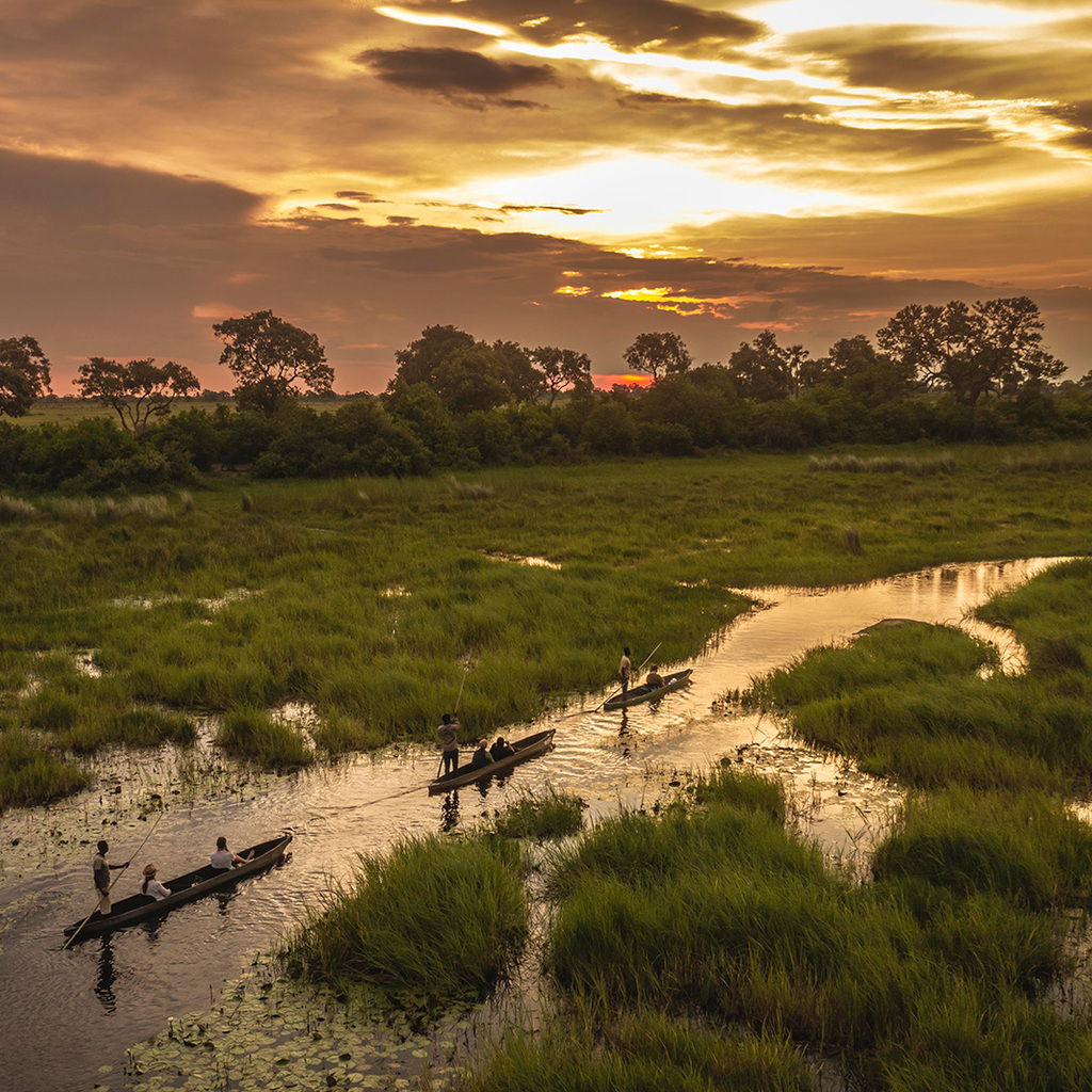
The main viewpoint lies near Hobas at the northern end of the gorge, Ai-Ais about 70 km further south. Most of our tours come from Cape Town over the Orange River, here called Gariep, cross the border into Namibia and drive inland to the canyon. Afterwards they continue to Keetmanshoop or Lüderitz; the small group tour from Victoria Falls comes from the north and drives to Ai-Ais.

For the viewpoint and the walk along the edge, half a day is enough. Our tours plan the canyon in the afternoon after arriving or early in the morning after a night nearby. For the trail through the gorge you need 5 days: about 90 km from Hobas to Ai-Ais, with river crossings, boulders and deep sand. It is not part of our tours.

Stay on the paths along the rim and keep your distance from the edge. Descending into the gorge without a permit and off the official trail is forbidden and life threatening. Bring enough water; there is hardly any shade at the rim. Take your rubbish with you, and don't feed the baboons.
Southern Namibia around the Fish River Canyon is not a malaria area; the risk lies further north, for example in Etosha and on the Okavango. The bigger issue is the sun: hat, sunscreen and enough water for the walk. What you need for the whole route is in our travel information on Namibia.
In Hobas there is a campsite under camelthorn trees, just a few kilometres from the main viewpoint. Our camping safaris stay at camps near the canyon, with two person tents and meals cooked on the truck, and drive to the rim for sunrise the next morning. In the winter months the nights get cold, so pack a warm sleeping bag.
Ai-Ais at the lower end of the gorge is a resort with thermal pools, rooms and a campsite; the small group safari from Victoria Falls stays here. Most other tours continue to Keetmanshoop after the walk along the rim and sleep there, in a tent or in fixed accommodation depending on the option you book.
549 m at its deepest point. The canyon is about 160 km long and up to 27 km wide, which makes it the second largest in the world after the Grand Canyon and the largest in Africa. From the viewpoint near Hobas you see the inner gorge with the loops of the Fish River.
May to September. The days are pleasant, the nights cold and the air clear. From October to April it is very hot; well over 50 °C has been measured in the gorge. The viewpoint can be reached all year, and our tours then drive to the rim early in the morning or late in the afternoon.
Half a day is enough for the viewpoint and the walk along the edge, and that is how our 13 tours plan it. If you want to hike the trail through the gorge, you need 5 days for about 90 km from Hobas to Ai-Ais, with a permit and only between 1 May and mid September.
Only on the official trail and with a permit. Descending anywhere else is forbidden and life threatening; there is hardly any shade and no drinking water. On our tours you stay at the rim and walk a stretch along the edge; the multi day trail is not part of the programme.
No, southern Namibia is not a malaria area. There is a risk further north, in Etosha, on the Okavango and in the Caprivi. Many of our tours continue into these regions after the canyon, so talk to a travel medicine doctor about the whole route before you go.
13 tours stop at the canyon, from the 7 day camping safari through South Africa and Namibia from 1,159 € to the 57 day overland journey from Cape Town to Nairobi. Most start in Cape Town, cross the Orange River and reach the canyon after two to three days. Two tours are small group tours with at most 12 guests.

How did you
hear about us?