Travel Information
Uganda
Trip preparation for your offroad and adventure experience – season, roads, entry and gear.
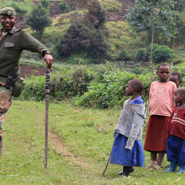
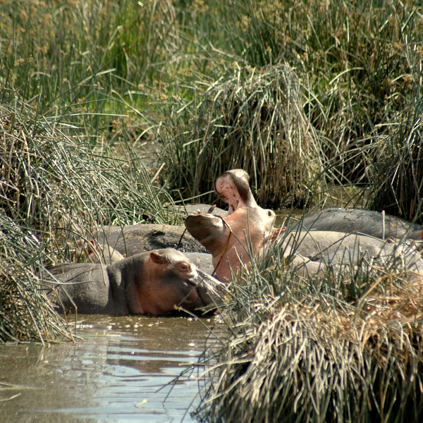
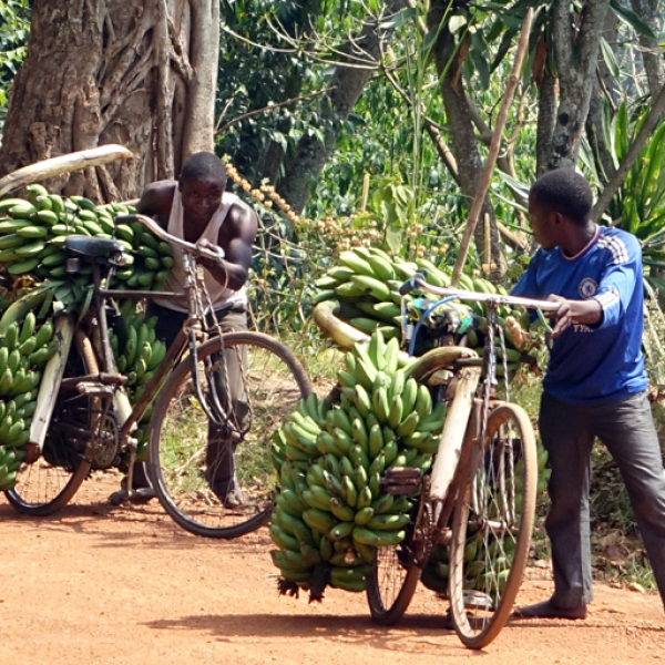
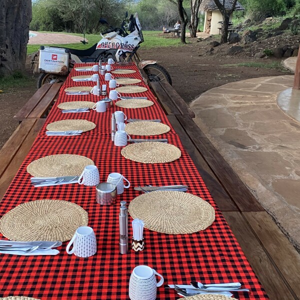
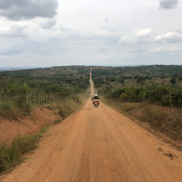
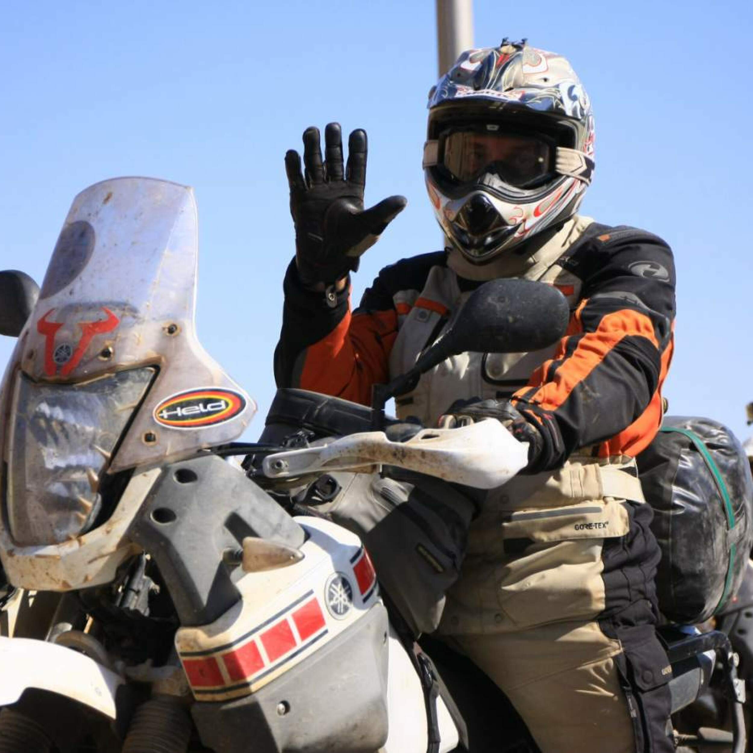
Impressions

 TopiTours_600_600.jpg)
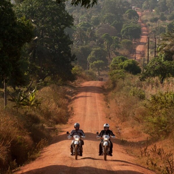
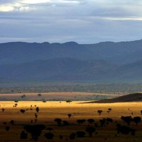
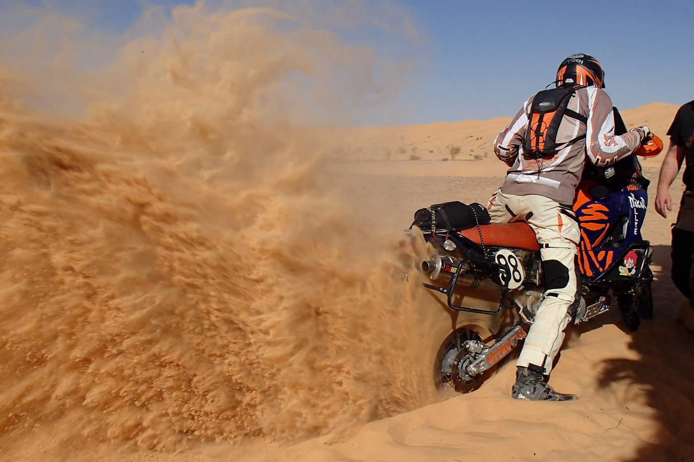
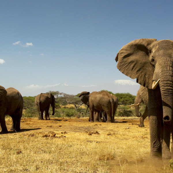
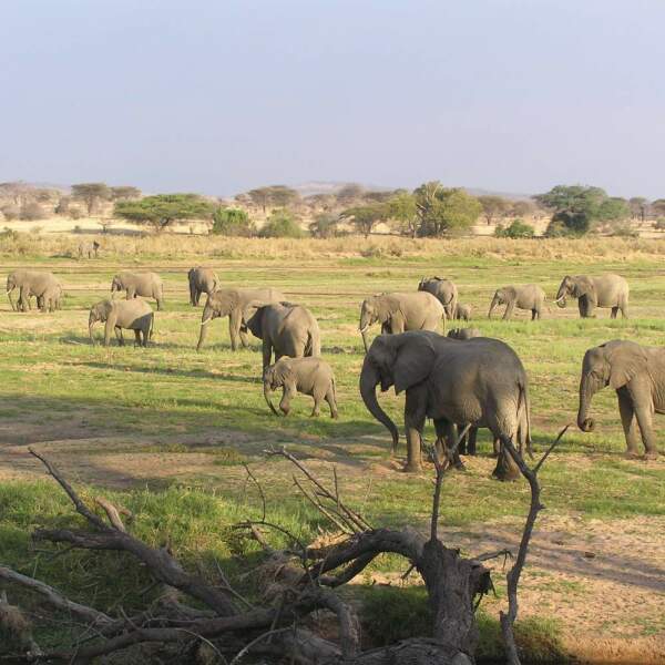
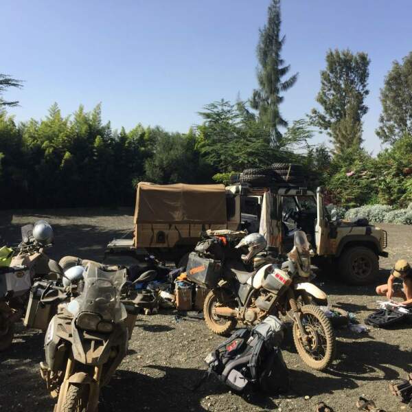
Photos from Uganda
Our Tours in Uganda
Motorcycle Expedition in The Heart of Africa
Group trip through Africa - Camping or Lodge Safari
Gorilla Trekking - Camping or Lodge Safari
Safari trips in Northern Tanzania
Motorcycle trips Safari wildlife observation Uganda Rwanda Burundi
Uganda Experience – Gorilla Safaris & Natural Wonders
Rwanda & Uganda – Safari, Gorillas & Small Group Tour
Small group trip Uganda Active
×
Send request
How did you
hear about us?