Travel Information
Nepal
Trip preparation for your offroad and adventure experience – season, roads, entry and gear.
Impressions
_600_600.jpg)
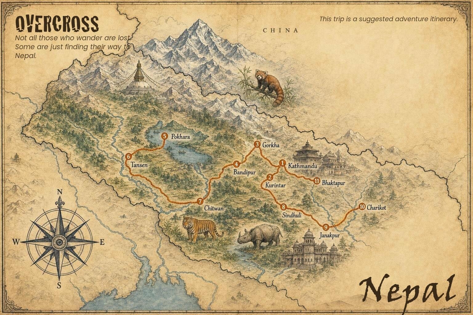
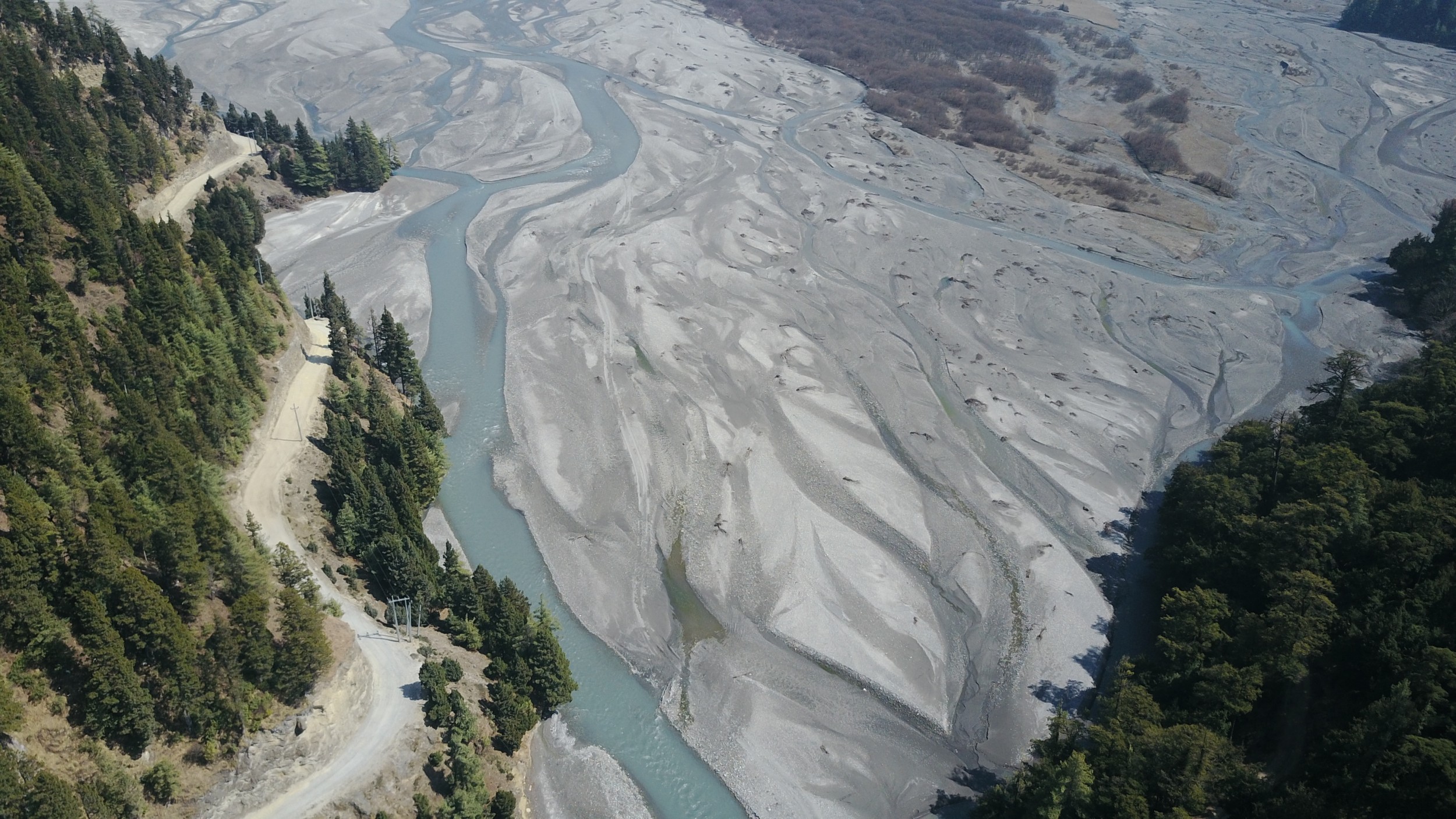
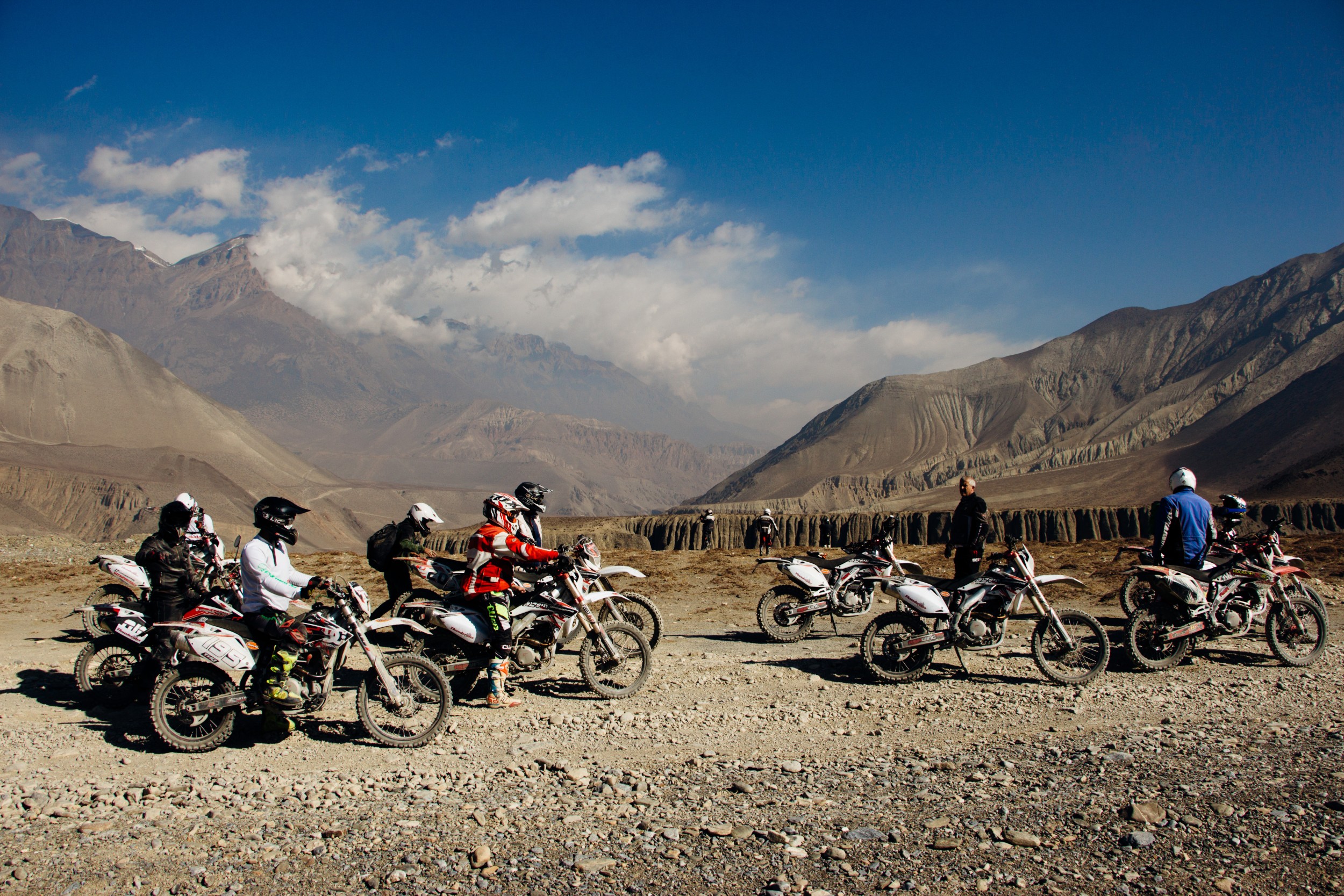
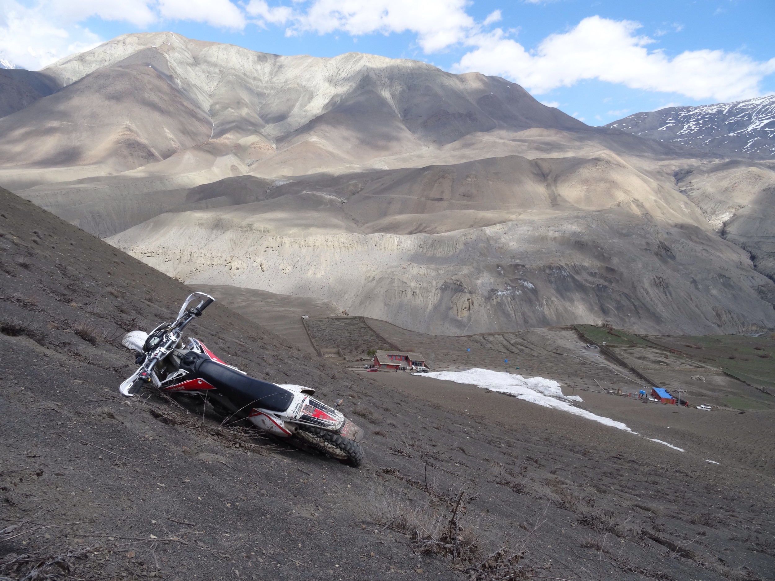
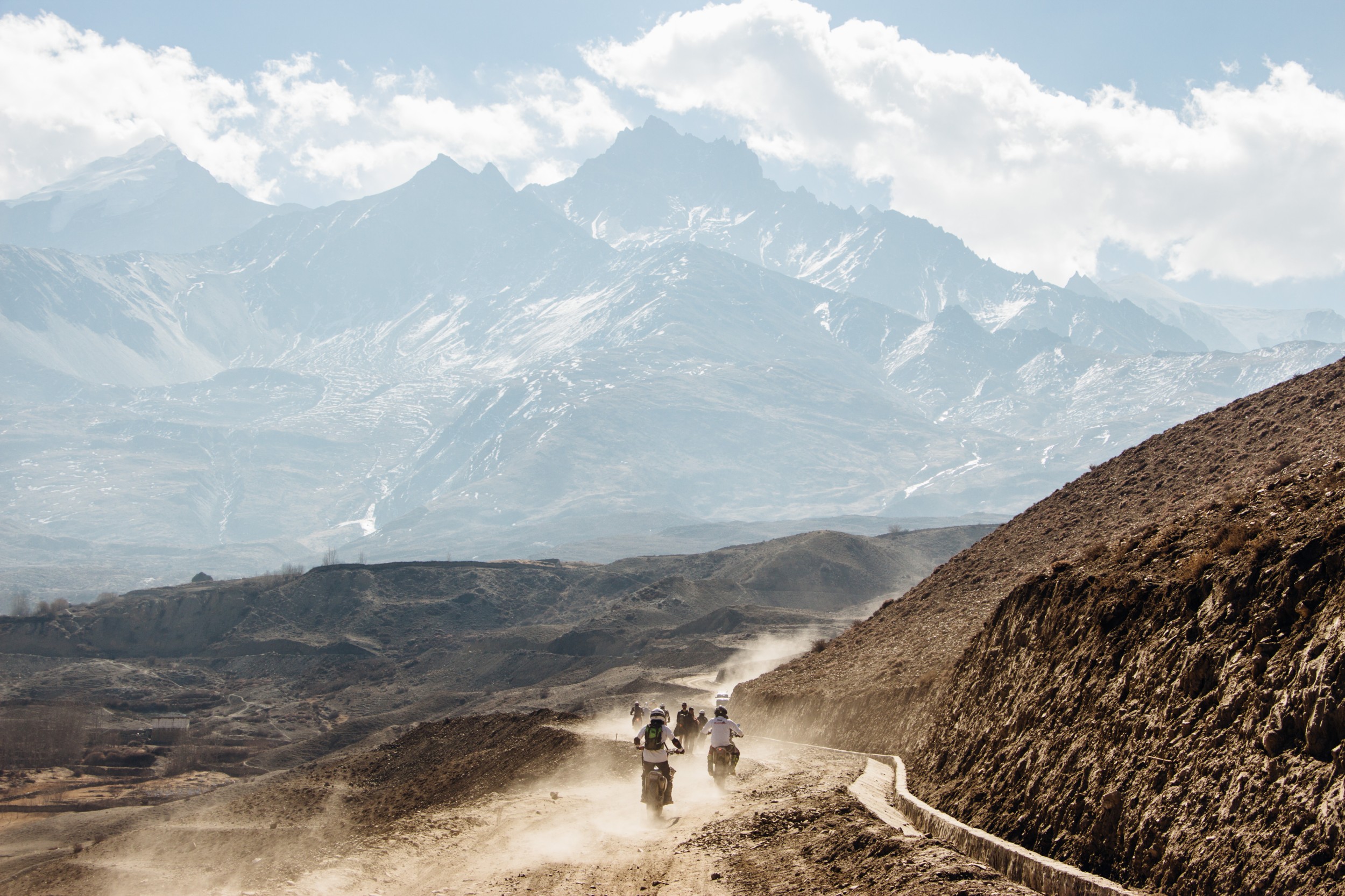
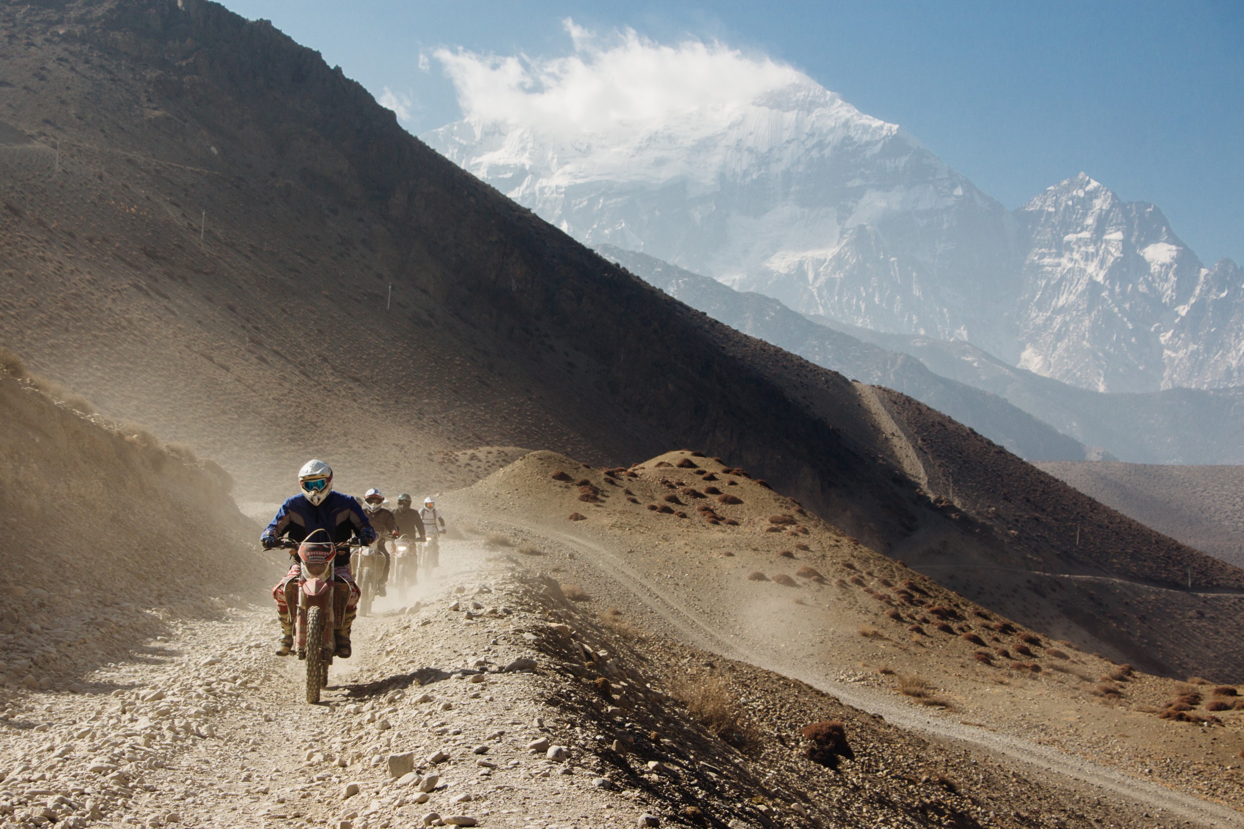
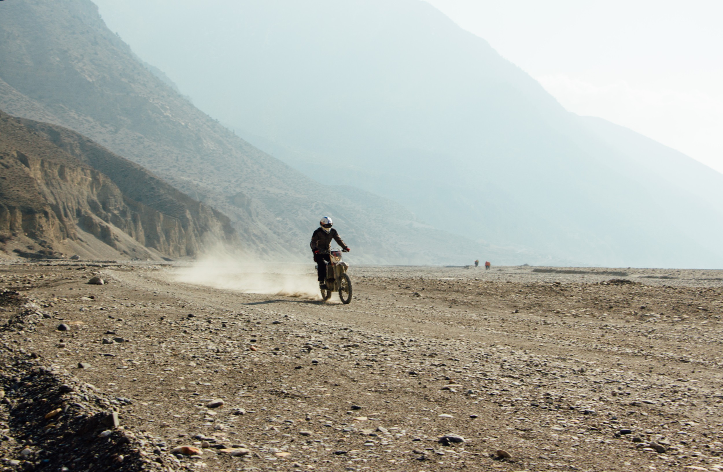
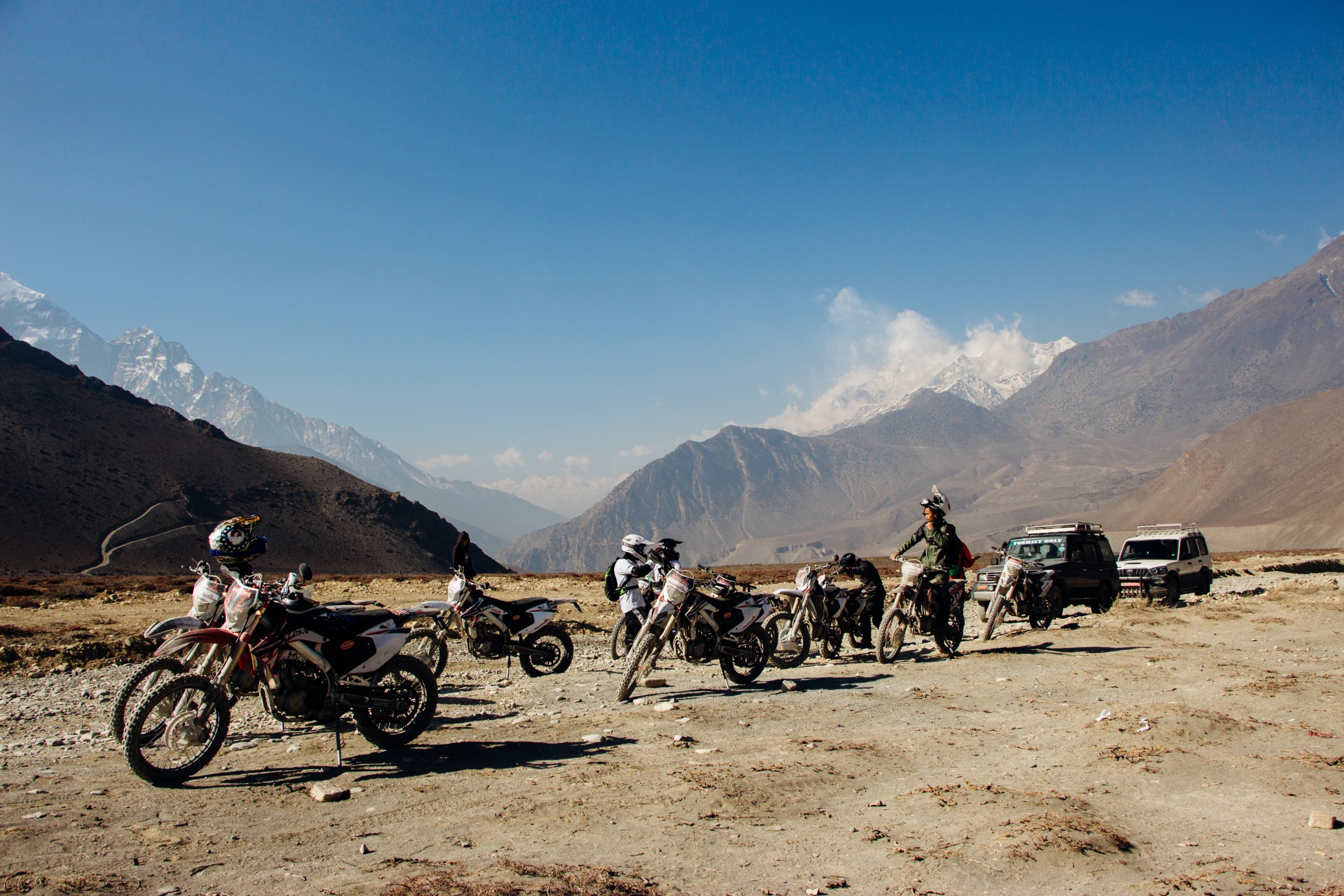
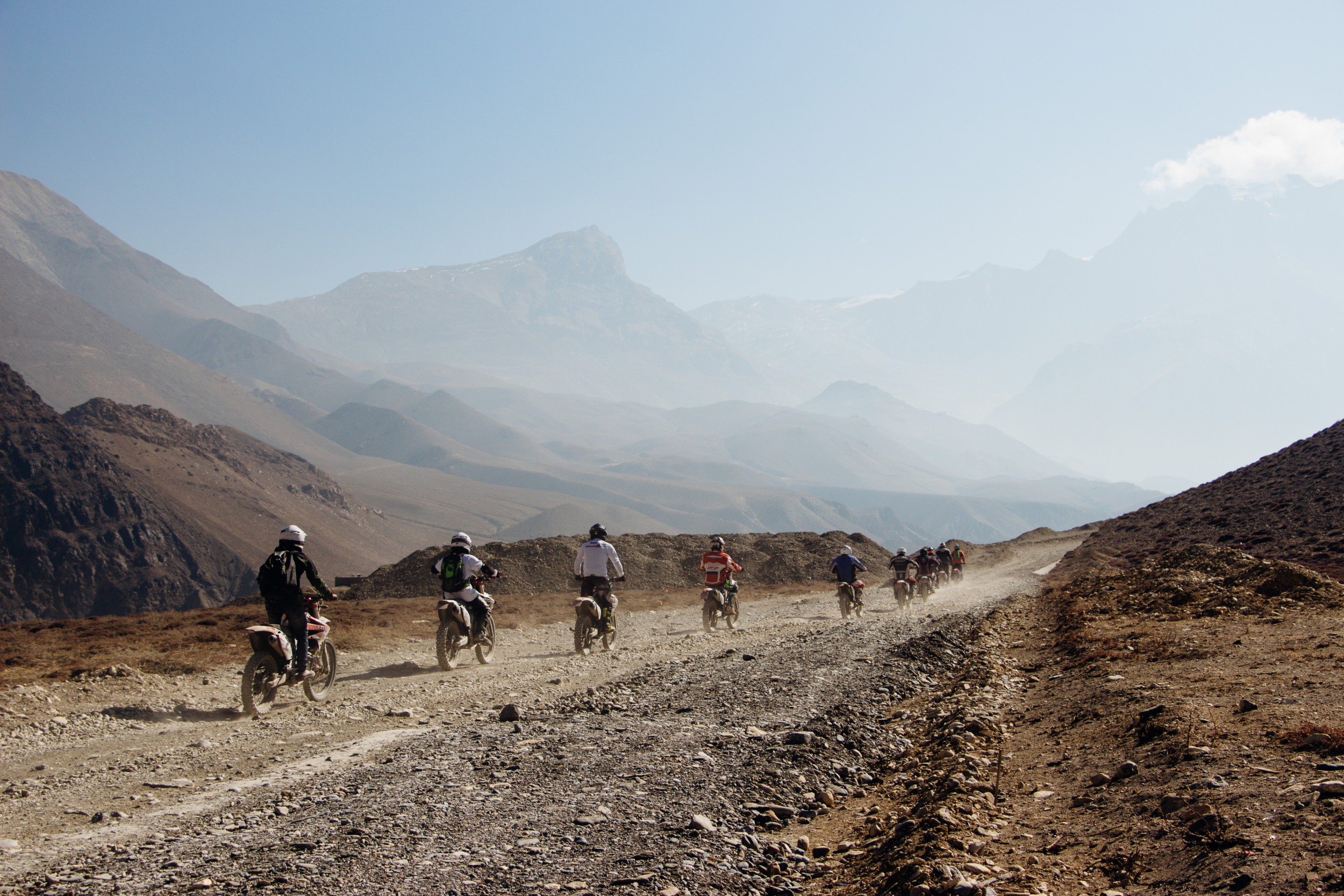
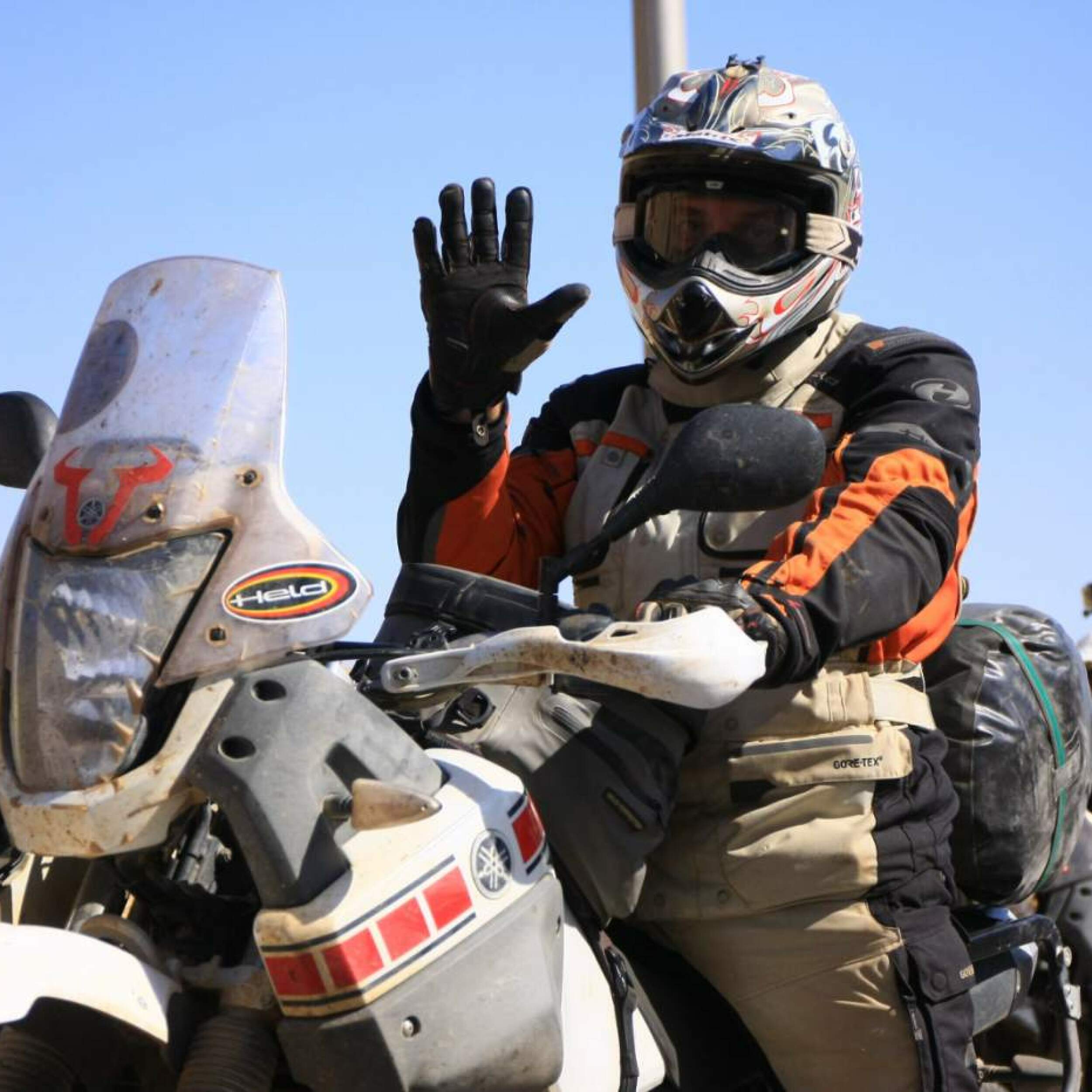
Photos from Nepal
×
Send request
How did you
hear about us?