Everything you need to know about Bhutan

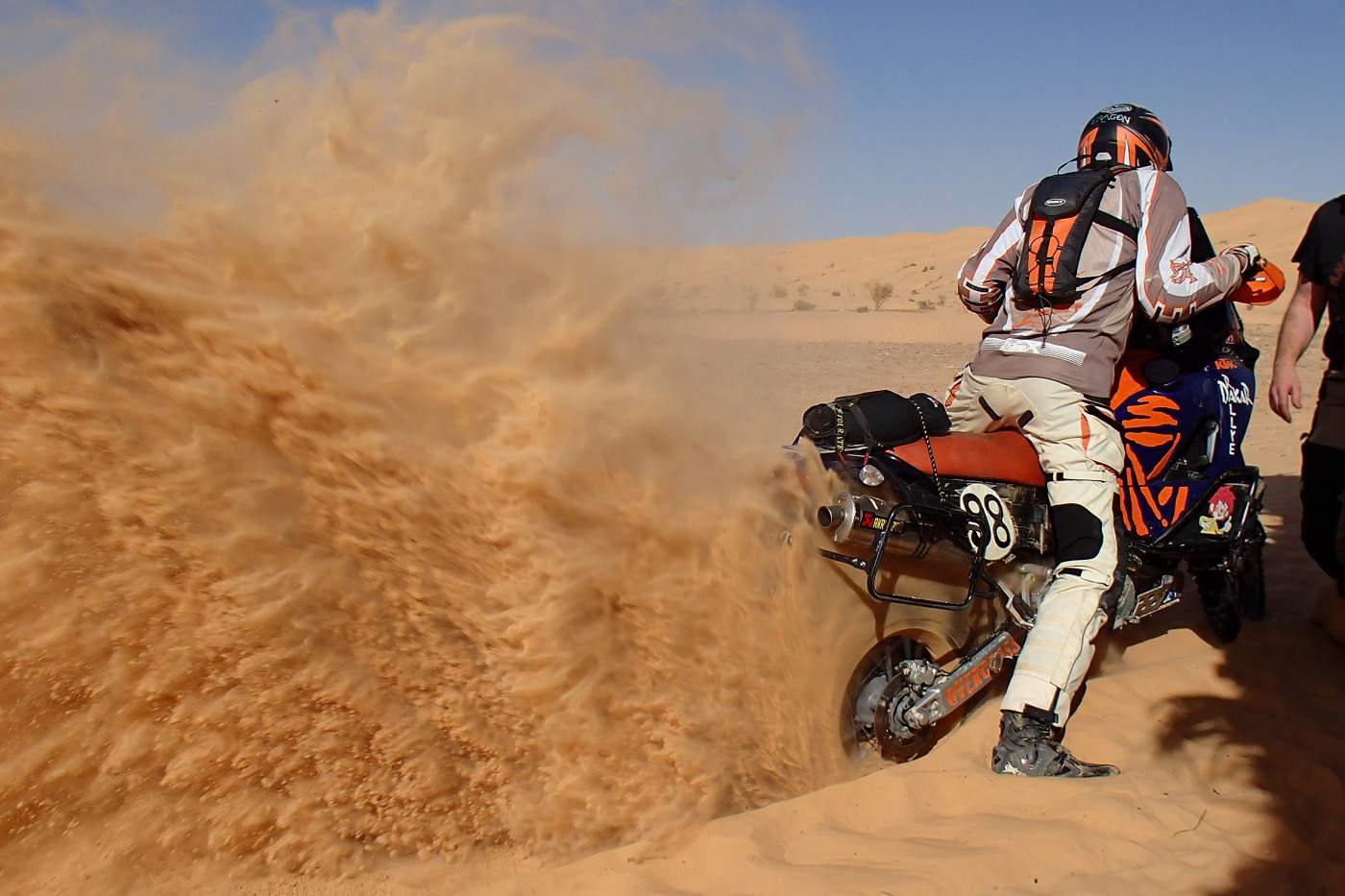
Travel map of Bhutan from the tour operator OVERCROSS
- General Information
- Climate
- Geography
- Flora and Fauna
- National Parks and Conservation
- Medical Advice
- Population
- Politics and Economy
- Transport Network
- Cities and Regions
- Culture, Sights and Famous People
- Public Holidays
- Travel Information
- Foreign Representation
- Sources and Links
1. General Information
Continent: Asia
Geographic Location: South Asia
Form of Government: Hereditary monarchy
System of Government: Constitutional monarchy
Languages: Dzongkha
Neighboring countries: China and India
Capital: Thimphu
Area: approx. 38,394 km²
Population: approx. 786,000
Population density: 20 inhabitants per km²
Religions: Mahayana Buddhism
Currency: Ngultrum (BTN), Indian Rupee (INR)
Climate: Tropical-subtropical climate
Time zone: UTC +6
Area code: +975
Country code: BTN
2. Climate
|
Freetown |
Temp. °C max/min |
Hours of sunshine / day |
Precipitation/ mm |
|
|
Jan |
10.9 |
-2.4 |
- |
14 |
|
Feb |
10.2 |
0.7 |
- |
42 |
|
Mar |
16.1 |
3.8 |
- |
25 |
|
Apr |
18.5 |
7.2 |
- |
60 |
|
May |
21.2 |
13.2 |
- |
125 |
|
Jun |
22.4 |
15.3 |
- |
244 |
|
Jul |
24.2 |
13.6 |
- |
376 |
|
Aug |
23.1 |
15.7 |
- |
348 |
|
Sep |
21.4 |
15.1 |
- |
158 |
|
Oct |
19.3 |
10.2 |
- |
39 |
|
Nov |
16.3 |
5.1 |
- |
7 |
|
Dec |
12.4 |
-1.3 |
- |
4 |
3. Geography
The South Asian country of Bhutan is located on the southern slopes of the eastern Himalayas. The country borders the Indian states of Arunachal Pradesh, West Bengal and Sikkim to the east, south and west, and the autonomous region of Tibet (China) to the north. The Himalayas dominate Bhutan. More than 80% of the country's area is higher than 2,000 m.
Bhutan can be divided into three main landscapes. In the southern border region with India stretches the approximately 500 m high narrow lowland of the Duar Plain. This belongs to the foothills of the Ganges-Brahmaputra lowlands. The land rises steeply to the north. The Pre-Himalayas are between 2,000 and 3,000 m high and represent the main settlement area in Bhutan. The high mountain region Lunanabefindet is in the border region with Tibet.
The highest elevation in Bhutan is Kula Kangri (7,553 m). The highest mountain never climbed by humans is also in Bhutan (Gangkhar Puensum, 7,570 m).
More than two-thirds of the country are covered by forests.
4. Flora and Fauna
Among other things, Bhutan is home to 300 different species of medicinal plants, 80 species of rhododendron, and about 600 species of orchid. On the high mountain passes at 5,000 m above sea level, you can still find tiny alpine flowers. Up to 4,000 m in elevation, there are many different flowers such as edelweiss, gentian, and asters. In spring, the rhododendrons, magnolias, orchids, and primroses bloom in a unique riot of color. In the warmer valleys, entire avenues of bright red poinsettias are formed.
Especially since the turn of the millennium and the opening of the country to international tourism, zoological research in Bhutan has increased. Because of its recentness, there are many research results that have not yet been published, and new species are constantly being discovered. The animals typical of Bhutan include: red panda, Asiatic black bear, Bengal tiger, snow leopard, takin, musk deer, golden langur, clouded leopard, blue sheep, and yak.
5. National Parks and Nature Conservation
The Jigme Singye Wangchuck National Park (named after Jigme Singye Wangchuck, the former King of Bhutan from 1972 to 2006) was previously called Black Mountain National Park and is the third-largest national park in Bhutan. The national park borders to the south on the Royal Manas National Park. The Jigme Singye Wangchuck National Park lies in the foothills of the Himalayas between 500 and 5,000 m, meaning its habitats cover various ecosystems ranging from tropical and subtropical moist forests to alpine mountain meadows. The park is an important corridor between the Royal Manas National Park in the south and the Jigme Dorji National Park to the north. Around 400 bird species and 37 mammal species have been identified in this most species-rich region of the eastern Himalayas. Part of the park includes the picturesque Phobjikha Valley, in which black-necked cranes overwinter. In addition, the park is also home to other exotic fauna such as muntjac, tiger, red panda, and golden langur. Endangered species include the leopard and the Asiatic wild dog. In mountain regions, one can find serow, musk deer, Himalayan black bear, snow leopard, takin, and wild boar. Other characteristic species are sambar, Indian muntjac, and golden langur.
The Jigme Dorji National Park with 328 bird and 36 mammal species, 5 types of reptiles, 300 different medicinal plants, and 39 butterfly species is one of the most biodiverse areas of the eastern Himalayas and extends from deciduous forest to the eternal ice fields and glaciers on the northwestern border of Bhutan. The monsoon rains and an altitude range from 1,400 to 7,000 m provide for a richly diverse plant and animal life. Sacred mountains such as Chomolhari (7,326 m), Tserim Kang (6,532 m), and Jichu Drakey (6,682 m) are major attractions in the park. Glaciers and glacial lakes feed the largest rivers of Bhutan such as Pachhu, Wangchhu, Phochhu, and Mochhu. The alpine region is home to numerous flowers such as the national flower, the blue poppy, but also edelweiss, orchids, and rhododendrons. Typical animal species include the snow leopard, takin, Bengal tiger, Asiatic black bear, and red panda, which inhabit the forests and mountain areas of the park. This national park is probably the only area in the world where the ranges of Bengal tiger and snow leopard overlap. The satyr tragopan (Tragopan Satyra) and other high alpine species are characteristic of this park, along with other rare birds that inhabit the rivers in subtropical deciduous forests, such as the imperial heron, crested serpent eagle, and Himalayan fish owl. The Jigme Dorji National Park is also known for some of the most popular trekking tours in Bhutan.
6. Medical Note
However, the Foreign Office recommends checking and, if necessary, updating the standard vaccinations for children and adults according to the current vaccination calendar of the Robert Koch Institute (www.riki.de) before traveling.
For adults, this includes vaccinations against tetanus, diphtheria, pertussis (whooping cough), and, if necessary, polio, measles, mumps, rubella (MMR), influenza (flu), and pneumococcal disease.
For travelers, vaccinations against hepatitis A and typhoid are recommended, and for long-term stays or special risks, also against hepatitis B, rabies, and Japanese encephalitis.
7. Population
According to government figures, Bhutan has 0.8 million inhabitants. The population of Bhutan consists of three groups: the Ngalongs, who live in the western highlands and immigrated from Tibet in the Middle Ages (a group which also includes the royal family), the Sarchops, who live in the eastern mountains and are ethnically close to the hill tribes of Northeast India, with both groups connected by their affiliation to Buddhism; and, as a third group, the southern Bhutanese (Nepali Bhutanese or Lhotshampas) who predominantly live in the lowlands at the Indian border. About three quarters of the population belong to the Tibetan ethnic group. The average life expectancy is about 72 years.
8. Politics and Economy
Since the Constitution was signed by the King on July 18, 2008, Bhutan is formally a constitutional monarchy. The political system of Bhutan, since the elections for the upper house in 2007 and the lower house in 2008, corresponds for the first time to Western concepts of democracy. Bhutan is particularly aligned with the guidelines of the Westminster system and explicitly follows the parliamentary model of Great Britain. Therefore, Bhutan also has a bicameral system, but the upper house is called the National Council and the lower house is called the National Assembly.
The economic base of Bhutan is narrow. Agriculture is not productive and is largely at a subsistence level. Rice surpluses are not produced; rather, the government is forced to import rice to supply the population. With the expected population growth, Bhutan is likely to face problems with food supply in the future. In recent years, however, economic output has increased significantly and the standard of living has improved. Although the country's economic model is not growth-oriented, the gross domestic product, calculated in US dollars, was able to rise from 807 million in 1990 to 9,500 million in 2023. Thanks to this growth, Bhutan now belongs to the group of middle-income countries. In 2023, economic growth was 6.5%, making the country one of the fastest-growing economies.
9. Transport Network
Bhutan has no highways, and there are only a few roads, which are designed for very little traffic. Due to the mountainous landscape, there are hardly any straight stretches on many roads, and it takes a very long time to get from the remote villages of the country to the capital (sometimes several days). The connections between the villages are improved by the construction of wire cable suspension bridges as part of the Suspension Bridge Programme (SBP) supported by Helvetas Swiss Intercooperation. Between 1978 and 2023, a total of 452 suspension bridges were built according to the standard design used in Nepal and further developed for Bhutan.
There is left-hand traffic throughout the country. Thimphu is often described as the only capital in the world without a single traffic light, although this also applies to Ngerulmud. At the ends of the main road through Thimphu, there are two roundabouts where police officers direct traffic during the day. Cycling is not permitted within Paro and Thimphu.
10. Cities and Regions
The city of Phuentsholing (330 m above sea level) is located in the south of Bhutan, on the border with India in the Chukha district and has about 30,000 inhabitants. A large part of the population consists of Indians, as the border within the city area can be crossed by Indians and Bhutanese without border formalities. The economic basis for the city is trade; it has an important function for import and export. Anyone planning to visit India after a trip to Bhutan can cross the border to West Bengal in Phuentsholing and start their trip to India there. The beautiful Manas National Park with elephants and Indian rhinoceroses and many other wild species, which is about 255 km away (5-6 hours by car), is an absolute highlight (October to the end of March).
Dagana district is a very green region. Over 80% is forested. The area extends to the southern border of the kingdom. The region received its name from the Daga Trashiyangtse Dzong, which was built in 1651 by Zhabdrung Ngawang Namgyel. He was the first man to unite Bhutan. The historic landmark still serves as the administrative center of the district. Here are also the three megaliths "Sky Pillar Rock", "The Rock of Ancient Steps" and "The Frontier Sky Fortress." During the construction of the Dzong, it is said that these sent telepathic messages, so that the Dzong may not be taller than the highest megalith. There are many other temples and monasteries in the region. The main source of income is agriculture, and especially oranges and rice are cultivated.
Gasa, a district in the north of the country, borders the districts of Punakha, Thimphu, and Wangdue Phodrang and to the north with Tibet. This contrasting and beautiful region with altitudes from 1,500 to 4,500 meters usually has extremely long and cold winters and short but beautiful spring, summer, and autumn days. The district of Gasa has just under 3,000 inhabitants. This region is inhabited by the Layaps, nomadic herders with a unique culture. Their main sources of income are trading in yak products, such as yak textiles, cheese, butter, and yak meat. They harvest and sell cordyceps (a caterpillar fungus of extremely high value, which is often used in oriental medicine and is said to have potency-enhancing properties).
11. Culture, Attractions and Famous Personalities
- The spiritual monastic city of Bumthang is one of the most important religious centers in the country. The numerous temples and monasteries are impressive testimonies to the region’s Buddhist-influenced past.
- On your vacation in Bhutan, observe the rare black-necked cranes in the Gangtey Valley, part of the Black Mountains National Park. In addition, Bhutan’s most important wildlife reserve also includes tigers, leopards, and Asian wild dogs.
- The impressive Taktsang Monastery in Paro is located at 3,000 meters altitude and is one of Bhutan's landmarks. It is said that the monastery, also known as Tiger’s Nest, is the most beautiful in the entire Himalayan region.
- Perhaps the most beautiful view of the Himalayas can be had from Punakha Valley. The Punakha Dzong is an impressive monastic building that rises majestically into the sky against an awe-inspiring backdrop.
- The Tashichho Dzong in the capital Thimphu is a Buddhist monastery, fortress, and also the seat of the government of Bhutan. The imposing building in the north of the city houses more than 30 chapels, temples, and shrines.
Jigme Singye Wangchuck was born on November 11, 1955 in Thimphu, Bhutan. He is a Bhutanese nobleman and the abdicated fourth king of Bhutan (1972–2006), who, after the death of his father, ascended the throne at the age of 16 as the youngest monarch in the world at the time, drove the modernization of the country, and formulated "Gross National Happiness" (1979) as the highest state goal.
12. Holidays
| Date | Name of Holiday |
| 2 January | Winter Solstice |
| 17 January | Traditional Day of Offering |
| 16 February | Losar (New Year) |
| 17 February | Losar (New Year) |
| 21 February | Birthday of the King |
| 22 February | Birthday of the King |
| 23 February | Birthday of the King |
| 20 March | Spring Equinox |
| 25 April | Shabdrung Kuchoe |
| 2 May | Birthday of King Jigme Dorji Wangchuck |
| 29 May | Buddha's Parinirvana |
| 21 June | Summer Solstice |
| 23 June | Birthday of King Jigme Dorji Wangchuck |
| 16 July | Buddha’s First Sermon |
| 15 September | Thimphu Drubchoe |
| 23 September | Autumn Equinox |
| 23 September | Blessed Rainy Day |
| 19 October | Dashain |
| 31 October | Descent of Buddha |
| 1 November | Coronation of King Jigme Khesar Namgyel |
| 11 November | Birthday of King Jigme Singye Wangchuck |
| 17 December | National Day |
| 21 December | Winter Solstice |
13. Travel Information
Safety advice from Federal Foreign Office
14. Embassy/Consular Representation
Embassy of the Federal Republic of Germany
Head: Dr. Martin Ney, Germany’s Ambassador to India
Location: New Delhi
Phone: +31 11 44 19 91 99
Street Address: Embassy of the Federal Republic of Germany, P.O. Box 613, New Delhi 110001, India.
Jurisdiction/Consular District: India, consular district: States of Haryana, Himachal Pradesh, Jammu and Kashmir, Punjab, Rajasthan, Sikkim, Uttar Pradesh, Uttarkhand (formerly Uttarranchal) as well as the Union Territories of Chandigarh, Delhi, Andaman and Nicobar Islands, Lakshadweep, Minicoy, and Amindivi as well as Bhutan.
Website: http://www.new-delhi.diplo.de